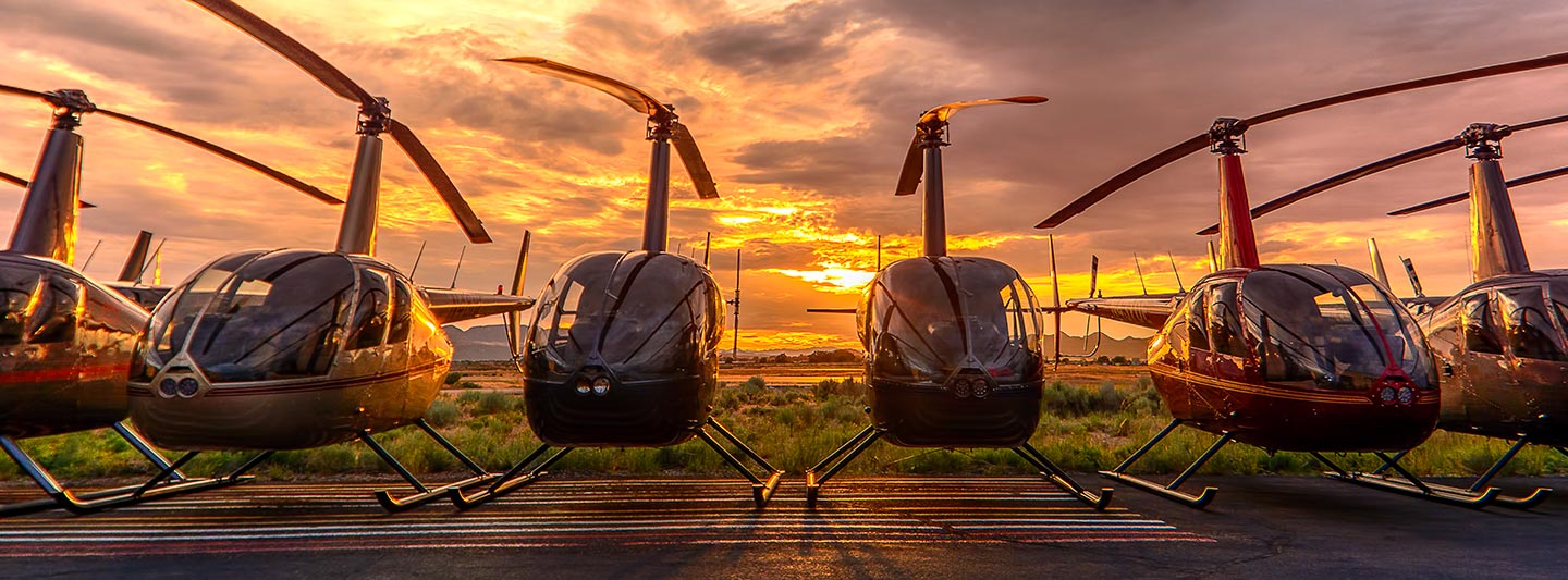
Precision Aerial Surveys and Visual Content Capture in San Diego
California Aerial Data and Visual Insight
For all specialized aerial survey requirements across California, including advanced magnetometer and electromagnetic surveys, high-resolution LiDAR, and precise GIS mapping, San Diego Helicopter Charters offers extensive solutions. We leverage the inherent low-altitude flight and stable hover capabilities of helicopters to acquire critical data with unparalleled accuracy. Furthermore, our specialized aerial filming services integrate state-of-the-art cinematography and photography technology, supporting productions from complex gyro-stabilized setups to simple door-off operations for handheld capture. We provide comprehensive aerial data acquisition and visual content capture capabilities across the diverse landscapes of San Diego and California.
Aerial
Surveys
LiDAR, GIS Maps, FLIR, HD Video & More
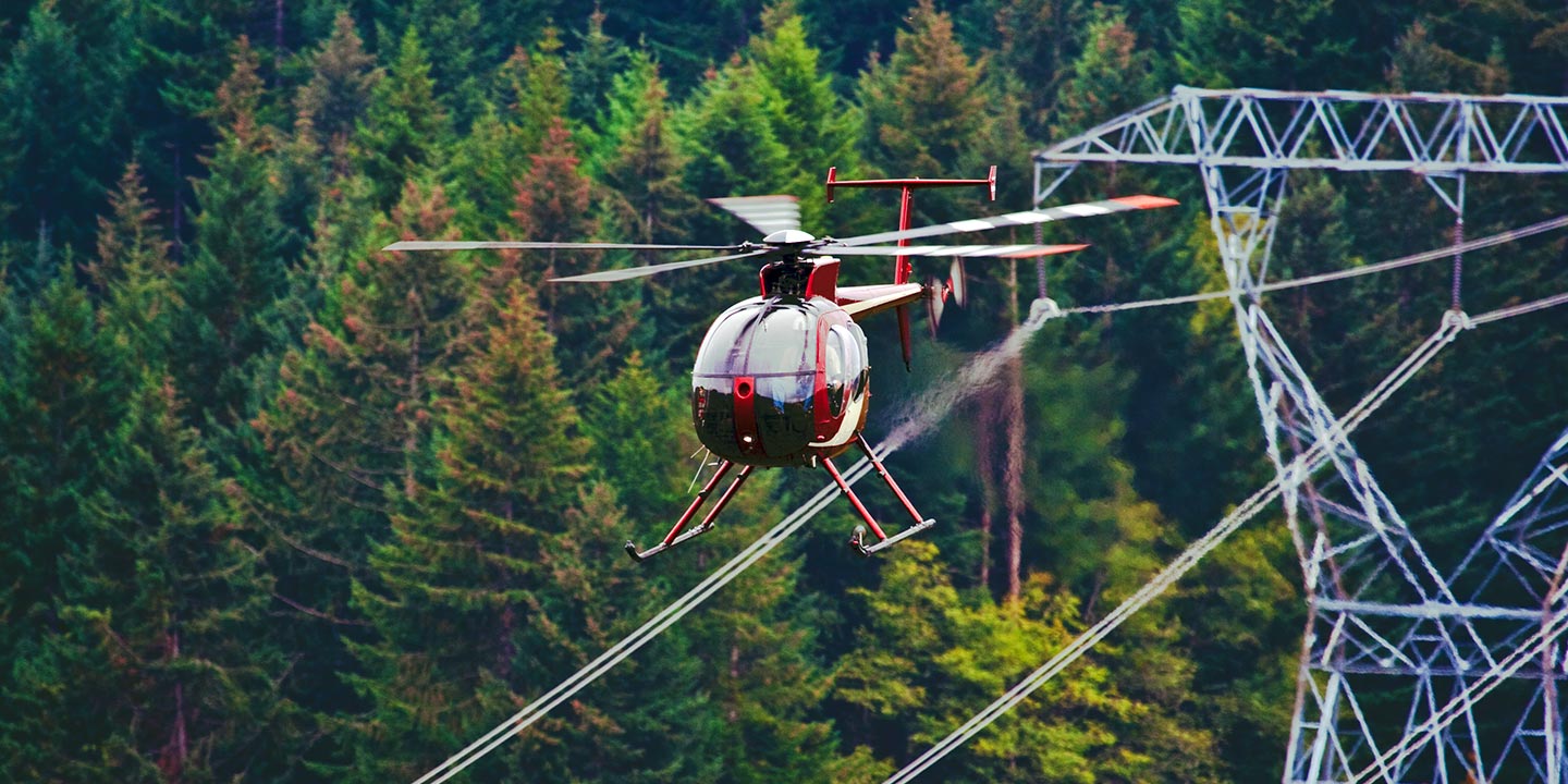
For critical infrastructure integrity monitoring, including comprehensive pipeline surveys, Right-of-Way (ROW) inspections, and transmission line operational assessments throughout California, San Diego Helicopter Charters provides integrated aerial solutions. We ensure access to optimal rotorcraft equipped with specialized instrumentation, supported by expert operational coordination to guarantee precise project execution.
High Tech Results
The Top Pilots in California, Today's Technology... Maximum Results.
Call 1-866-826-4826 Now!
San Diego Helicopter Charters provides the tools needed to complete your land surveys, utilizing the right equipment to provide the aerial photos that are often needed.
Effective helicopter-based aerial surveys streamline critical operations such as comprehensive Right-of-Way (ROW) and site inspections, precise topographical data acquisition, and high-definition photographic documentation for commercial projects across California. This methodology offers superior capabilities for detailed terrain analysis, meticulous pipeline integrity assessments, proactive detection of transmission line anomalies, and comprehensive visual documentation of properties in San Diego and beyond. San Diego Helicopter Charters specializes in developing bespoke photographic and remote sensing operational plans, meticulously tailored to maximize technical precision, financial efficiency, and deliver superior actionable results for your commercial enterprise.
The inherent aerodynamic capabilities of helicopters, specifically their ability to operate at significantly lower altitudes and reduced airspeeds compared to fixed-wing aircraft, position them as the optimal platform for detailed aerial surveying. While fixed-wing operations are typically constrained by FAA regulations to a minimum of 1,000 feet above obstacles, helicopters can execute precision flight at much lower elevations. This distinct advantage enables direct inspection of geographically challenging or hazardous zones, providing engineers and project managers with critically important and otherwise inaccessible perspectives for comprehensive analysis and informed decision-making across California's diverse landscapes.
There is no better way to conduct your visual survey, animal population counts, soil drainage analysis, ROW inspections, pipeline and transmission line inspections, and geographical surveys.

LiDAR Imaging
Light Detection and Ranging, or LiDAR, is a remote sensing method used to examine and measure California topography as well as objects, like vegetation, upon it.

Infrared Imaging
Thermographic IR cameras are used to detect radiation in the long-infrared range of the electromagnetic spectrum and produce images of that radiation, called thermograms.

HD Video Gimbal Capture
Modern HD and 4K cameras can be mounted to helicopters, using the proper STCs, with a gimbal to stabilize photos & videos for detailed results.
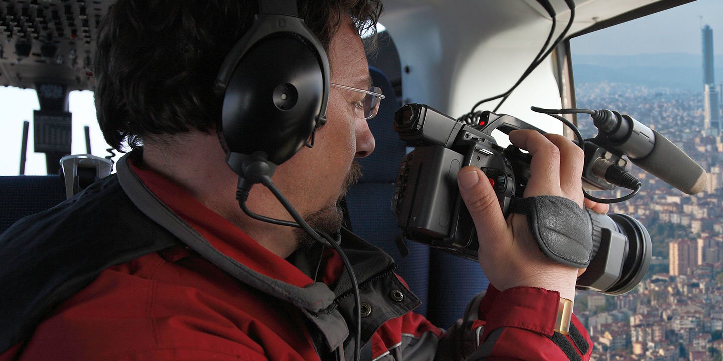
Sophisticated Aerial Cinematography and Visual Production
For expert camera work in the San Diego Sky
Get a Fast, free QuoteSan Diego Aerial Cinematography
San Diego Helicopter Charters provides unparalleled access to a comprehensive suite of resources for professional-grade aerial cinematography across California. Our network facilitates custom production shoots, integrating state-of-the-art gyro-stabilized camera platforms such as Tyler Mounts, Wesscam, Cineflex, Pictorvision, and SpaceCam, configured with premier specialty cameras including Cineflex HD, RED Epic, and Arri Alexa, alongside advanced 3D and experimental systems. We offer robust support for all production objectives, from intricate air-to-air sequences to dynamic ground-to-air perspectives. Our coordinated flight services are meticulously tailored to achieve exceptional visual results, working in close collaboration with aerial Directors of Photography and directors to fulfill their artistic and technical visions. Specializing in helicopter support for both still and motion photography, San Diego Helicopter Charters facilitates virtually every media-related operation throughout California. This includes feature film productions, television series, documentary filmmaking, promotional video creation, commercial advertising, precise aerial prop placement, critical relief work for broadcast networks, and comprehensive coverage of historical events and major sporting spectacles, utilizing a diverse fleet of specialized helicopters to meet exacting production demands.
Call Us Today at 1-866-826-4826 for a Free Quote
Contact Us
Aerial Photos
Hand-held or Mounted OpTions in San Diego
We will help you get the right equipment for your aerial photography project! Call 1-866-826-4826 today to get a fast, free quote.
The Most Options for Photography
The diverse topographical and urban environments inherent to California present unparalleled opportunities for aerial photographic capture. San Diego Helicopter Charters provides specialized aerial photography charters meticulously designed to facilitate the precise realization of your creative or technical vision. We are committed to offering cost-effective photographic opportunities of this caliber across the San Diego region and wider California. Many rotorcraft can be configured for door-off operations, enabling unhindered handheld photography. For projects demanding superior stability and precision, advanced gyro-stabilized camera mounts are available, offering enhanced control and cinematic quality. Contact us to discuss the optimal configuration for your specific aerial imaging objectives.
Superior Service
Every one of our customers gets a dedicated helicopter expert to assist with flight plans, tech loadouts, production logistics, project schedules, and other demands.
Over 500 Aircraft
Our network of direct air partners extends well beyond San Diego, California. This allows us to offer a wide range of solutions for even the most sophisticated projects.
The Best Equipment
From high-tech sensors like LiDAR, FLIR, and GIS to HD cameras and movie production gimbals, we're here to make your job as easy as possible.


